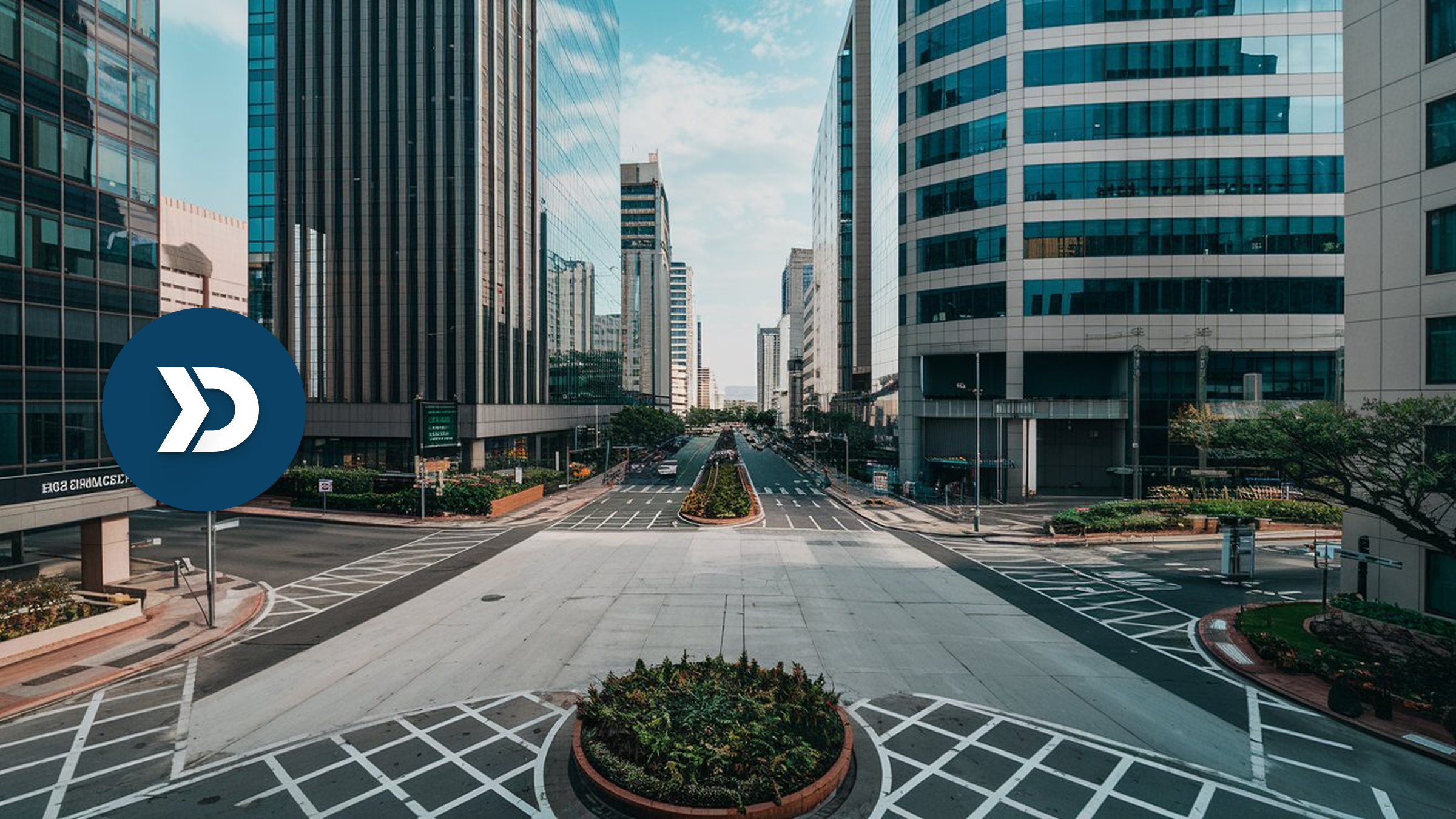

Urban congestion is a growing challenge, leading to economic losses, pollution, and inefficient transportation. Mobile telematics offers a data-driven solution by collecting real-time vehicle data to optimize traffic flow, enhance infrastructure planning, and reduce congestion. By integrating telematics insights, cities can improve traffic signal coordination, implement dynamic toll pricing, and develop smarter public transportation systems. Additionally, anonymized telematics data can support sustainable urban mobility initiatives, reducing emissions and enhancing commuter experiences.
As cities embrace AI-powered traffic management, mobile telematics can also play a vital role in shaping the future of smart, connected urban environments. Can mobile telematics transform city traffic management? What use does anonymized vehicle data have to enhance road efficiency, optimize infrastructure planning, and create smarter urban mobility solutions? Let’s explore the potential mobile telematics has for the future of smarter cities.
Table of Contents
- The Urban Congestion Challenge and the Role of Mobile Telematics
- Understanding Traffic Congestion with Mobile Telematics
- Reduce Traffic Congestion by Improving Public Transportation Efficiency
- Enhancing Infrastructure Planning with Telematics Insights
- The Road Ahead for Smarter, Less Congested Cities
1. The Urban Congestion Challenge and the Role of Mobile Telematics
As cities expand and urban populations grow, traffic congestion has become a pressing issue. Long commutes, frequent bottlenecks, and inefficient road networks contribute to economic losses, environmental pollution, and reduced quality of life. Traditional methods of managing congestion—such as traffic cameras, road sensors, and manual surveys—often lack the real-time insights necessary for dynamic traffic control.
Mobile telematics offers a smarter, data-driven approach to urban traffic management. By leveraging real-time vehicle data, urban planners and municipal governments can optimize traffic flow, reduce congestion, and make informed infrastructure decisions.
2. Understanding Traffic Congestion with Mobile Telematics
2.1 How Mobile Telematics Captures Traffic Data
Mobile telematics systems collect data from GPS, accelerometers, and vehicle speed sensors to monitor traffic movement and road conditions. Unlike traditional traffic sensors, mobile telematics provides comprehensive, real-time insights from a wide range of vehicles, including personal cars, rideshare fleets, and delivery vehicles.
- GPS tracking identifies vehicle locations and speed variations.
- Accelerometers detect sudden braking and acceleration patterns.
- Anonymized vehicle data ensures privacy while enabling large-scale traffic analysis.
By harnessing this information, city officials can make data-backed decisions to improve congestion and road safety.
2.2 Identifying Congestion Patterns Through Data Analytics
Mobile telematics does more than track vehicle locations—based on the rich data, it can potentially help urban planners understand why and where congestion occurs. With AI-powered analytics, cities can:
- Detect peak-hour congestion zones and frequent bottlenecks.
- Predict future traffic patterns based on historical data.
- Identify roads with poor traffic flow efficiency, enabling targeted interventions.
For example, a city might find that congestion increases near business areas during morning hours. Planners can implement better traffic routing solutions based on the telematics data.
2.3 The Power of Traffic Monitoring
Cities need traffic insights to adjust road policies. Mobile telematics enables authorities to:
- Receive feedback on traffic density and unexpected congestion events.
- Use AI-driven congestion forecasting to implement preventive measures before gridlock occurs.
By shifting from reactive traffic management to proactive congestion control, cities can create smoother, more efficient road networks.
3. Reducing Traffic Congestion by Improving Public Transportation Efficiency
Public transit is a critical component of congestion reduction, and mobile telematics helps optimize transit routes and schedules based on commuter movement data.
- Identify where bus lanes and transit hubs are most needed.
- Adjust bus and train schedules dynamically based on rider demand.
- Reduce overcrowding by monitoring transit patterns in real-time.
By aligning public transit improvements with actual travel behaviors, cities can encourage more commuters to shift from personal vehicles to mass transit.
4. Enhancing Infrastructure Planning with Mobile Telematics Insights
4.1 Identifying Road Network Inefficiencies
Urban planners often rely on outdated traffic studies when designing road expansions. Mobile telematics provides up-to-date, real-world data that can be used to guide infrastructure investments.
- Pinpoint underutilized vs. overburdened roads.
- Prioritize high-impact congestion zones for expansion or redesign.
- Use vehicle density maps to optimize road layouts and lane allocations.
With accurate data, cities can reduce unnecessary infrastructure spending and focus on projects that deliver the greatest congestion relief.
4.2 Supporting Smart Parking Solutions
Parking-related congestion accounts for a significant percentage of urban traffic. Mobile telematics can support smart parking solutions by identifying areas with high parking demand. Cities that integrate telematics-driven parking management can reduce congestion while improving accessibility.
4.3 Integrating Mobile Telematics with Sustainable Mobility Initiatives
Smart city planning goes beyond roads—it involves integrating telematics data with sustainable mobility solutions.
- Aligning bike lanes, pedestrian paths, and EV charging stations with traffic flow data.
- Using telematics data to determine optimal locations for rideshare pick-up/drop-off zones.
- Encouraging multimodal transportation by improving connectivity between cars, buses, and bicycles.
By leveraging telematics data, cities can support greener, more efficient mobility ecosystems.
5. The Road Ahead for Smarter, Less Congested Cities
Mobile Telematics-Based Traffic Management for Smarter City Management
With urban populations continuing to rise, the need for data-driven congestion solutions has never been greater. Mobile telematics provides cities with actionable insights that can potentially improve traffic flow and urban mobility significantly. By leveraging telematics data, municipalities can implement proactive traffic management strategies, optimize public transportation systems, and enhance overall urban mobility.
With advanced analytics, cities can identify bottlenecks, improve traffic signal timing, and implement intelligent rerouting strategies to reduce congestion and emissions. Embracing telematics-driven solutions paves the way for safer, smarter, and more sustainable urban transportation networks.
Frequently Asked Questions (FAQ)
1. How can mobile telematics help with traffic congestion?
Mobile telematics collects real-time vehicle data, such as speed, location, and traffic patterns. This data can help cities manage congestion more effectively.
2. How does mobile telematics differ from traditional traffic sensors?
Unlike fixed road sensors and cameras, mobile telematics provides continuous, large-scale traffic insights from various vehicles which can offer a more comprehensive view of urban mobility trends.
3. What role does telematics play in infrastructure planning?
Telematics data has the potential to be used by urban planners to identify high-traffic zones, prioritize road expansions, and optimize parking solutions.